Guide to San Francisco Bay Area Creeks
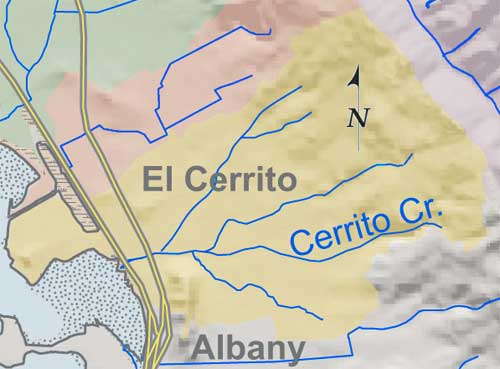
Cerrito Creek Watershed
The Cerrito Creek Watershed includes:
Middle Creek
Cerrito Creek, flowing from a deep ravine, was the largest of a number of creeks draining into a large salt marsh between Albany Hill and Point Isabel west of today's San
Pablo Avenue. On its banks was an Ohlone Village.
Blackberry Creek used to be a tributary of Cerrito Creek. A stormdrain now captures the flows of Blackberry Creek and upper Marin Creek, discharging them from an outfall into
the marsh north of Golden Gate Fields.aret
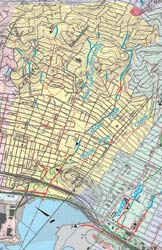
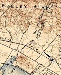
Watershed maps, click to enlarge
|
|
|
Cerrito Creek Watershed Map |
Topo Map, 1895 |
|