Guide to San Francisco Bay Area Creeks
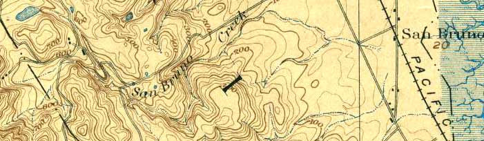
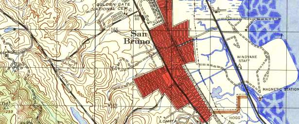
San Bruno Creek Topo
1896, 1939
An intermittent stream drained this valley.
USGS Topographic Map: San Mateo, Calif. 1/62,500, 1896; Courtesy of
HISTOPO
USGS Topographic Map: San Mateo, Calif. 1/62,500, 1939; Courtesy of
HISTOPO
Top of Page
San Bruno Creek Information
Glossary