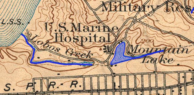
Guide to San Francisco Bay Area CreeksLobos Creek, 1895Topographic map from the 1890s with original creeks in blue, marshes in green, and modern land fill in pinkThis is the longest remaining open creek in San Francisco
USGS Topographic Map: San Francisco, Calif. 1/62,500, 1895; Courtesy of HISTOPO; Revised2008
|