Guide to San Francisco Bay Area Creeks
Lake Merced Watershed
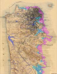
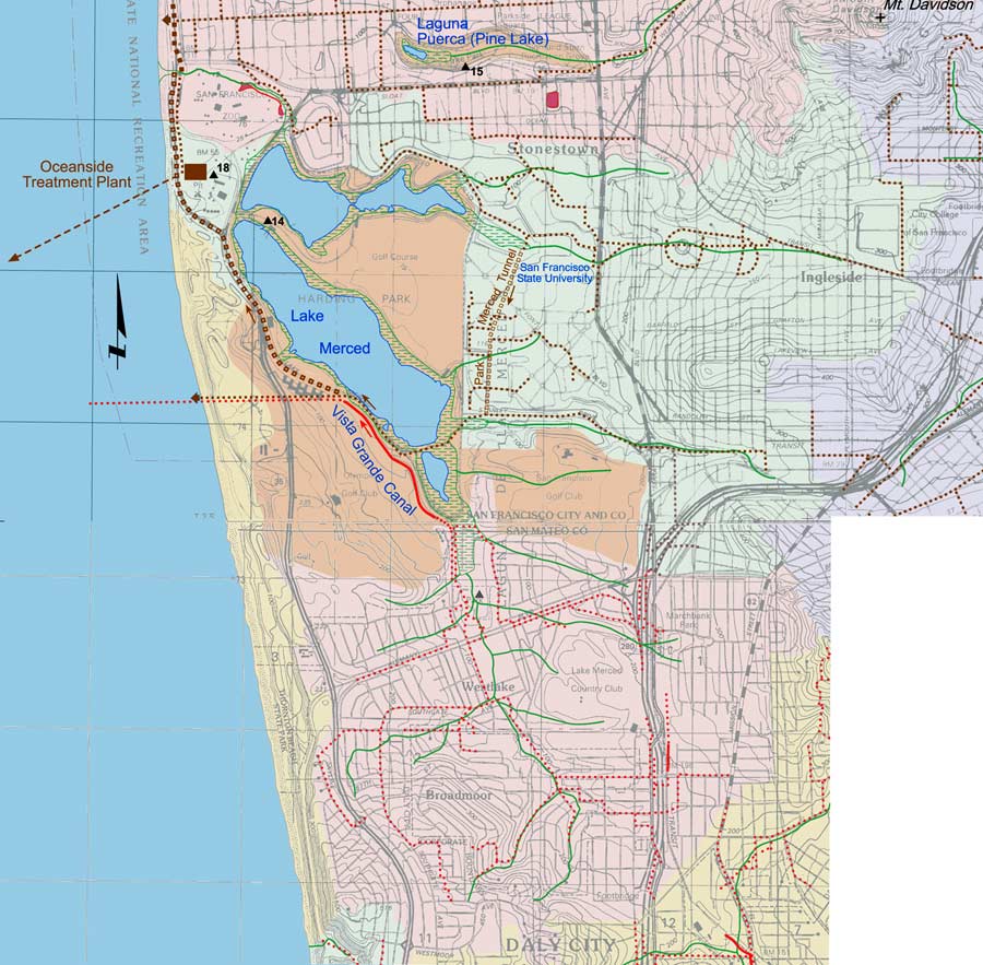
On this map, the current-day Lake Merced watershed is in orange. It has no surface outlet to the ocean, although the lagoon in the zoo roughly follows where the old outlet had
been. Lake Merced had a long history as a water supply for San Francisco. As the neighborhood developed, surface runoff to the lake became polluted. Consequently the southern
portion of the original watershed (pink), and eastern portion (green) were diverted from flowing into the lake. The green lines on the map show where all the surface creeks
had been before being diverted. Today, what water finds its way into Lake Merced percolates westward to the ocean through the dunes.
Portion of Creek & Watershed Map of San Francisco & Vicinity -- Purchase Printed Map
Watershed maps, click to enlarge
|
|
|
|
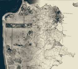
San Francisco, circa 1860 |
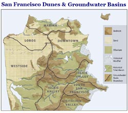
Geology & Groundwater Basins |
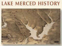
Lake Merced History |
|
|
|
Historical San Francisco Peninsula |
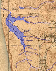
Lake Merced Topo 1899 |
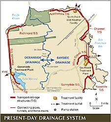
Present-Day Drainage Systems |
|
|
|
|
San Francisco 1869-2007 |
|
|
 for point of interest