Guide to San Francisco Bay Area Creeks
Baylands & Creeks of
South San Francisco Bay
Discover the primeval marshes of the South Bay and current sites for restoration.
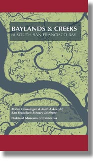 |
Baylands & Creeks of South San Francisco Bay. This map presents
both the historical and modern hydroscapes of the South Bay. One side shows in
exquisite detail the salt marshes as they were prior to the gold rush. The other
side presents the modern-day salt ponds and the lower reaches of the creeks in
the area south of the Dumbarton Bridge. Much of this area was recently purchased
for restoration of the salt ponds to natural habitat.
|
|