Guide to San Francisco Bay Area Creeks
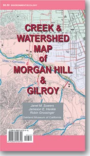
Creek & Watershed Map of
Morgan Hill & Gilroy
Find your neighborhood creek, and learn about your watershed
Creek & Watershed Map of Morgan Hill & Gilroy. The printed version of this map presents both the historical and modern hydroscapes of the area from Coyote through
MOrgan Hill to Gilroy.
 |
Watersheds shown include:
- Coyote Creek
- Llagas Creek
- Uvas - Carnadero Creek
Features include:
- Historical Watersheds of the Southern Santa Clara Valley
- Geological History of the Coyote Creek Alluvial Fan
|
|