Guide to San Francisco Bay Area Creeks
Creek & Watershed Map of
Milpitas
& North San Jose
Find your neighborhood creek, and learn about your watershed
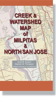
Creek & Watershed Map of Milpitas & North San Jose . The printed
version of this map presents both the historical and modern hydroscapes of the
area from Agua Caliente Creek in Fremont, south to Penetencia Creek in San Jose, and west to Moffett Channel in Sunnyvale. The reverse side presents the
historical waterscape of the entire Santa Clara Basin.
|
Watersheds shown include:
Features include:
- Historical Waterscape of the Santa Clara Basin
- Pacific Congress Springs
|
|