Guide to San Francisco Bay Area Creeks
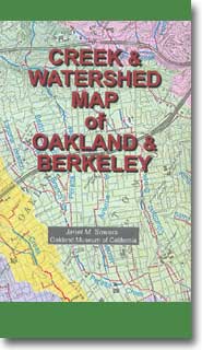
Creek & Watershed Map
of
Oakland & Berkeley
Find your neighborhood creek, and learn about your watershed
Creek & Watershed Map of Oakland & Berkeley.
The printed version of this map presents both the historical and modern hydroscapes
of the western drainages of Northern Alameda County.

|
Watersheds shown are:
Features include:
- Creeks of the East Bay is printed on the
back side of this map. It shows the creeks of the entire East Bay Region from
Martinez to Morgan Hill and Altamont Pass to San Francisco Bay.
- Lake Merritt Flood 1962
- Sausal Creek Swimming Hole
- Temescal Creek in the 1870s
- Alameda Creek in the 1870s
|
- By: Janet M. Sowers
- Published By: The Oakland Museum of California, 1993, Rev. 1995, Rev 2000.
- Funded By: San Francisco Estuary Project, Alameda County Urban Runoff Clean
Water Program, City of Oakland, William Lettis Associates
- Distributed By: Oakland Museum Store,
Oakland, CA
- ISBN: 1-882140-11-7
|