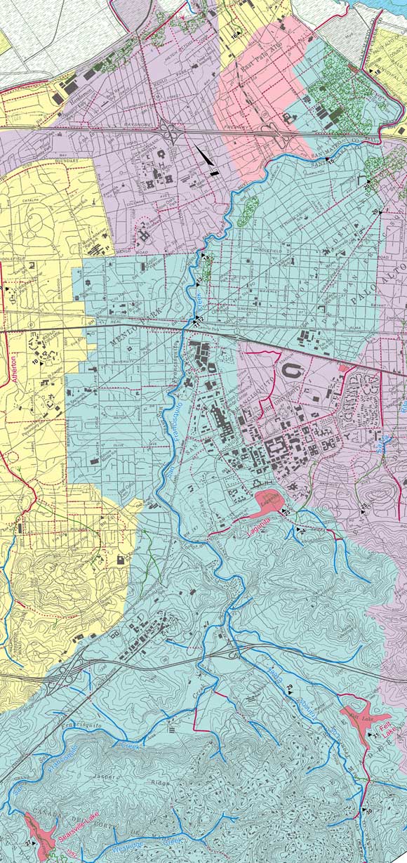
Guide to San Francisco Bay Area CreeksSan Francisquito Watershed MapLower PortionSan Francisquito Creek flows out of the Stanford campus incised into its alluvial fan. It flows across the flatlands confined between natural and artificial levees.
|
Top of PageSan Francisquito Watershed InformationGlossary |