Guide to San Francisco Bay Area Creeks
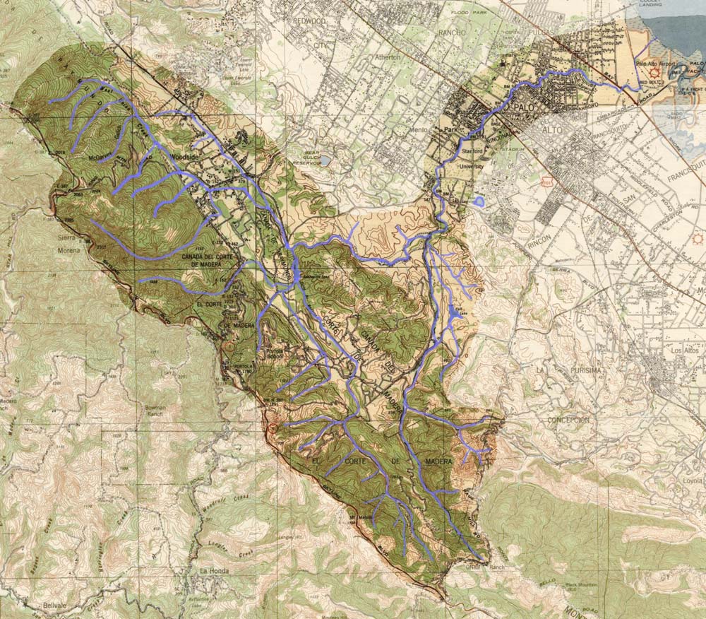
Modified from USGS Topographic Maps 1/62,500: Palo Alto, Calif. 1940 & Half Moon Bay, Calif. 1941; Courtesy of HISTOPO
|
Guide to San Francisco Bay Area Creeks
Modified from USGS Topographic Maps 1/62,500: Palo Alto, Calif. 1940 & Half Moon Bay, Calif. 1941; Courtesy of HISTOPO
|