Guide to San Francisco Bay Area Creeks
San Francisquito Creek Watershed
The San Francisquito Creek Watershed includes:
Los Trancos Creek, Corte Madera Creek, Coal Creek, Damiani Creek, Jones Gulch, Hamms Gulch, Sausal Creek, Neils Gulch, Bull Run
Creek, Martin Creek, Alambique Creek, Bear Creek, West Union Creek, Appletree Gulch, Tripp Gulch, Squealer Gulch, McGarvey Gulch, Searsville Lake,
Rengsdorff Gulch, Buckeye Creek, Dry Creek.
Watershed Maps, click to enlarge |
 |
 |
 |
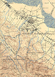
Palo Alto Topo Map, 1899 (218k)
Super Size (599k) |
Palo Alto Topo Map, 1940
Super Size (230k) |
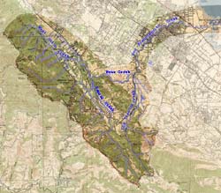
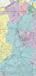
San Francisquito Watershed Map
Super Size (186k) |
| |
 |
 |
|
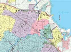
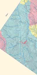
East Palo Alto Watersheds Map
Super Size (169k) |
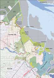
Palo Alto Baylands Map
Super Size (190k) |
 |
 |
 |
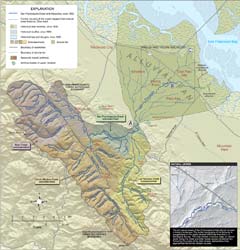
Upper San Francisquito Creek Map
Super Size (398k) |
Lower San Francisquito Creek Map
Super Size (552k) |
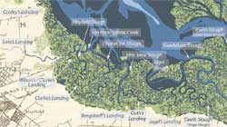
Historical Baylands Map
Super Size (109k) |
 |
|
|
|