Guide to San Francisco Bay Area Creeks
Alameda Creek
Flood Control Channel
Watershed Map
All these watersheds were distributaries of Alameda Creek; when the creek
would flood out of its primary channel it would pour into these distributary
channels. As recently as the 1950s these creeks would carry
off waters when Alameda Creek flooded. Now the
flows of Alameda Creek are held within the flood-control channel, whose watershed
is in yellow, and the rest of the watersheds now carry mostly local urban runoff.
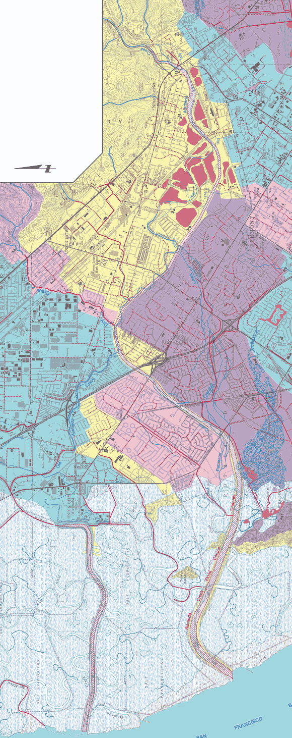
Portion of Creek & Watershed Map of Fremont & Vicinity -- Purchase Printed Map
|