Guide to San Francisco Bay Area Creeks
San Francisco Dunes &
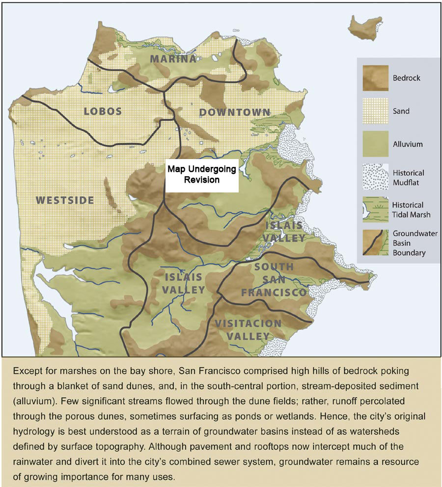
Groundwater Basins
The Richmond, Sunset, Western Addition, and Financial Districts of San Francisco were lacking in creeks. These areas were covered with sand dunes. Because of the permeable soils, rainwater soaked-in immediately. Yes,
these areas are watersheds, but the water flows away in underground aquifers. Much of the western area feeds Lake Merced; other areas flow towards the Ocean, or SF Bay. Today, when heavy storms raise the water levels
of these aquifers, they flood into many people�s basements.
Click on dunefield for watershed map
Watershed maps, click to enlarge
|
|
|
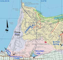
Lobos Creek Watershed |
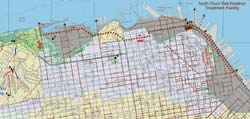
North Beach Watersheds |
|
|
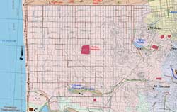
Dunefield, Northwest |
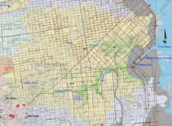
Mission Creek Watershed |
|
|
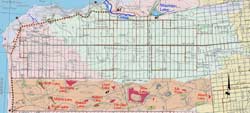
Dunefield, Southwest |
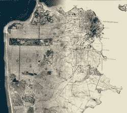
San Francisco 1869-2007 |
|
|
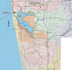
Lake Merced Watershed |
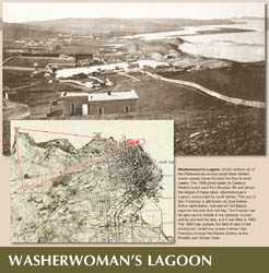
Washerwoman's Lagoon |
| |
|
|
|
|
|
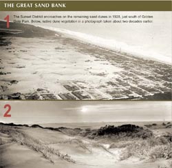
The Great Sand Bank |
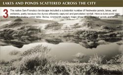
Lakes and Ponds |
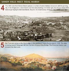
Sandy Hills |
|