Guide to San Francisco Bay Area Creeks
Alameda Creek
Subwatershed Finder
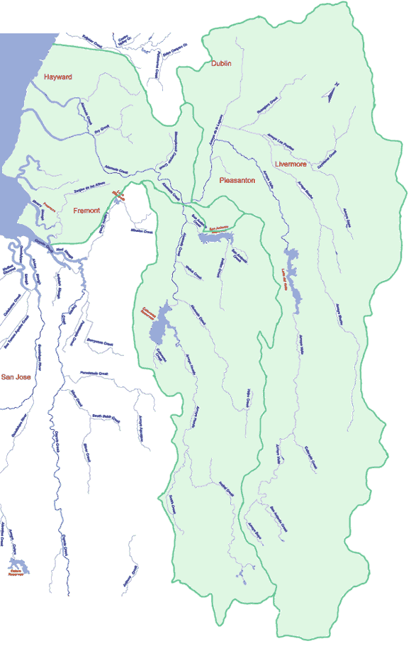
This map shows the Alameda Creek watershed divided into three subwatersheds,
each an independent system with very little in-stream flow between the three.
To the north and east, the Arroyo de la Laguna subwatershed is managed to
deliver water to the Pleasanton/Livermore area. To the southwest, the city of
San Francisco manages the Upper Alameda Creek subwatershed and exports most of
the water to San Francisco. Downstream to the northwest, the Lower Alameda Creek
subwatershed is managed to deliver water to Fremont, Newark, and Union City.
Click on map for information on specific subwatersheds
|
|
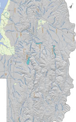
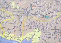
Alameda Creek Subwatersheds
|
Click on map or link below to enlarge
|
|
|
|
|
|
|