Guide to San Francisco Bay Area Creeks
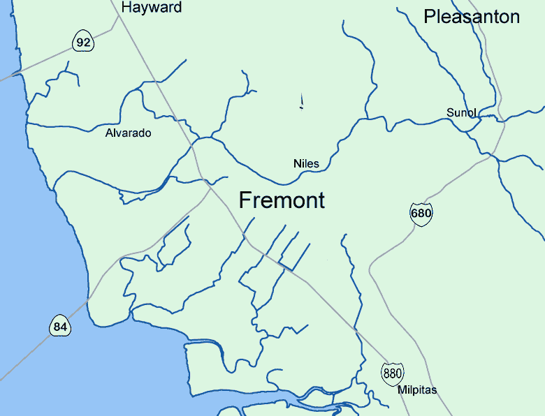
Lower Alameda Creek
Watershed
This page covers Lower Alameda Creek, downstream of the confluence of the two major upstream tributaries, Arroyo de la Laguna
and Upper Alameda Creek.Included are a number of small watersheds flowing directly into the Bay. They are included here because they
are old channels of Alameda Creek that were occupied by Alameda Creek during floods, or that had been channels of Alameda Creek during geologic time
as the creek meandered across its alluvial fan. For the purposes of this web site, it also includes Vallecitos Creek, which is currently operated
as a canal delivering Delta water from the State Water Project for use in the Fremont area.
This area includes:
Alameda Creek Flood Control Channel, Ardenwood Creek, Dry Creek, Mt. Eden Creek, Crandall Creek, Mowry Slough, Old Alameda Creek, Patterson Creek, Plummer Creek, Sanjon de los Alisos, Stoneybrook Creek, Ward Creek
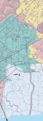
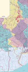
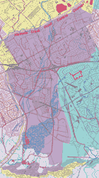
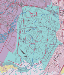
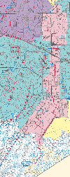
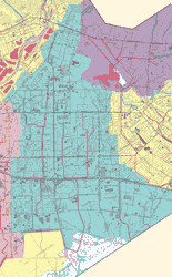
or click on the individual maps in the array below. |
|
This array of map thumbnails in approximate geographic relationship |
||
 |
||
Ward Creek & Dry Creek |
||
 |
 |
|
Alameda Creek Flood Control Channel |
Vallecitos Creek |
|
 |
||
Crandall Creek |
||
 |
 |
 |
Sanjon de los Alisos |
Plummer Creek |
Mowry Slough |
Top of PageAlameda Creek WatershedsGlossary |