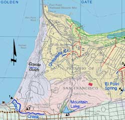
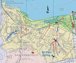
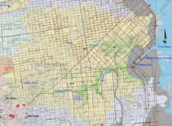
Guide to San Francisco Bay Area Creeks

San Francisco Watershed Finder

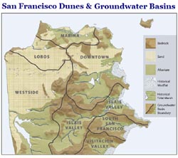
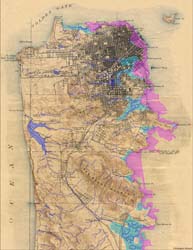
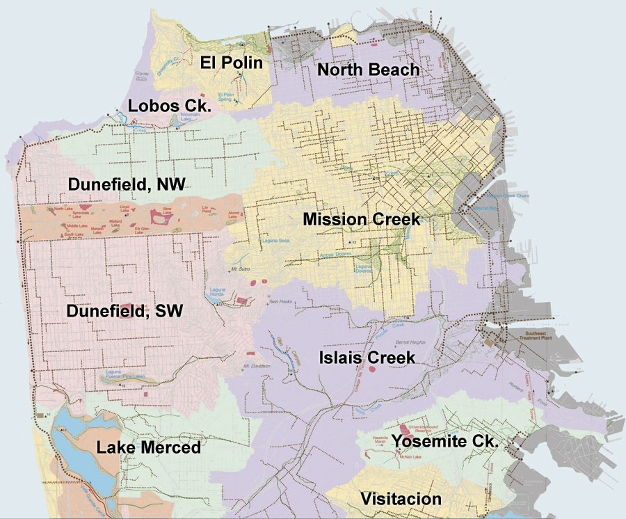
The southeastern portion of San Francisco is mostly bedrock and alluvial soil. This area was dominated by the watersheds of two large creeks, Mission Creek and Islais Creek. 
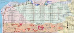
The Richmond, Sunset, Western Addition, and Financial Districts of San Francisco were largely lacking in creeks. In these areas isolated bedrock hills poked through a blanket of 
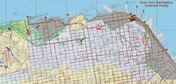
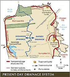
sand dunes. Rainwater soaked into the permeable soils. Today most runoff is collected by the combined sewers, conveying both rain water and wastewater to treatment plants. The modern watersheds shown here are defined by the sewer networks and high-flow discharge points.

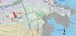
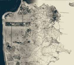
Click on map for detailed watershed maps

Watershed maps, click to enlarge
Lobos Creek Watershed
El Polin Watershed
North Beach Watershed
Lobos Creek Watershed
El Polin Watershed
North Beach Watershed
Dunefield, Northwest
 
Mission Creek Watershed
Dunefield Watersheds, NW
 
Mission Creek Watershed
Dunefield, Southwest  
Islais Creek Watershed
Dundfield Watersheds, SW
 
Islais Creek Watershed
 
Islais Creek Watershed
Lake Merced Watersheds
 
Yosemite Creek Watershed
San Francisco, circa 1860
S.F. Dunes & Groundwater Basins
Present-Day Drainages
San Francisco Historical Topo
S.F. 1869-2007
Lake Merced History

Top of Page
Upper Peninsula Watersheds
Glossary
Visitacion Valley Watershed Yosemite Creek Watershed Islais Creek Watershed Mission Creek Watershed North Beach Watersheds El Polin Watershed Lobos Ck. Watershed San Francisco Dunes, Northwest San Francisco Dunes, Southwest Lake Merced Watersheds